The “Reconstruction and Disaster Risk Reduction (R-DRR) Mapping” program
The “Reconstruction and Disaster Risk Reduction (R-DRR) Mapping” program is a school-based program for R-DRR, which was originally developed and has been implemented since the 2012 school year in the City of Ishinomaki, one of the areas devastated by the 2011 Great East Japan Earthquake and Tsunami, under the support of the city’s Board of Education, by researchers at Tohoku University, Yamagata University and Kobe University, together with the international NGO Save the Children, and in collaboration with teachers at school.
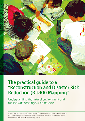
International Collaborating Center of Disaster Education Research and Implementation of Research Institute of Disaster Science (IRIDeS), Tohoku University, made an practical guide for teachers who are interested in implementing the R-DRR mapping, based on the five years of practical experience at the ten schools in the 2012-2016 school years in Ishinomaki. The authors hope it will become a guide for all who are interested in R-DRR mapping, not only in Ishinomaki but across Japan and around the world.